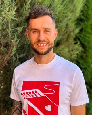
Thanks for dropping by! My name is Oleksandr Pancheliuga, and I’m a professional land surveyor/GIS analyst based in Ukraine 🇺🇦. I possess expertise in spatial data processing and analysis, remote sensing/earth observations, data visualization, as well as conducting topographic, hydrographic, and utility surveys.
Since my school days, I’ve been intrigued by computers and programming (back when IT was not yet a thing!). After completing school, I decided to pursue higher education at the National University of Water and Environmental Engineering in my hometown, Rivne. The course I chose was “Geographical Information Systems and Technologies,” primarily driven by the keywords “information” and “technologies.” However, my academic journey led me to discover my true passion for the “GEO” - the study of the earth. It all started during my internship at a local land management firm during my third year, which eventually led me to work in the Ukrainian cadastre system for over a decade, gaining valuable expertise.
As the world rapidly changes (and Twitter becomes X), so do I . Evolving from a land surveyor to a developer and cloud engineer, my path is now filled with exciting technologies such as Cloud Computing, AI, MLOps, DevOps, CI/CD and Automations.
I humbly refrain from labeling myself an expert in any area, as I firmly believe in constant self-improvement and adaptability. I pride myself on being a quick and adaptable learner, always eager to explore new methods and techniques to enhance my skills and knowledge.
